Thank you for helping us meet our fundraising goal!
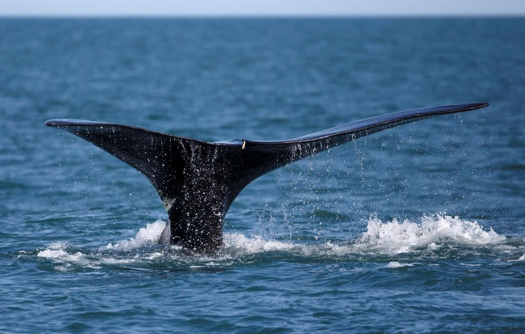
The Canadian Space Agency is harnessing satellite technology to monitor and protect endangered North Atlantic right whales in the country’s waters.
The agency said Tuesday it will lead a $5.3-million project funded by the federal government called smartWhales, which will use satellites to detect the presence of right whales and to predict the animals' movements.
Canada is giving a total of $5.3 million over three years to five companies for a series of projects to help protect the endangered species.
One of the projects will involve a system that can rapidly provide location data and detect if the whales are approaching a fishing vessel.
Fisheries Minister Bernadette Jordan says collecting satellite data about the movement of the whales is key to preventing collisions between whales and vessels and to spot cases where the animals are caught in fishing gear — two of the leading causes of right whale deaths.
In October, the National Oceanic and Atmospheric Administration estimated only 366 right whales were alive in January 2019, with fewer than 94 of them being females with the ability to breed.
This report by The Canadian Press was first published Jan. 26, 2021.
This story was produced with the financial assistance of the Facebook and Canadian Press News Fellowship.


Comments