Landslide waters to reach B.C.'s Lower Mainland today

High waters that flowed over top of a massive landslide in British Columbia's Chilcotin River are churning in the Fraser River towards British Columbia's Lower Mainland today.
Emergency Management Minister Bowinn Ma says the fast-flowing waters are forecast to raise river levels by about a metre at Hope, B.C., located about 150 kilometres east of Vancouver.
She says the river levels will be similar to spring runoff conditions on the Fraser River, but there is potential danger from trees and other debris in the river.
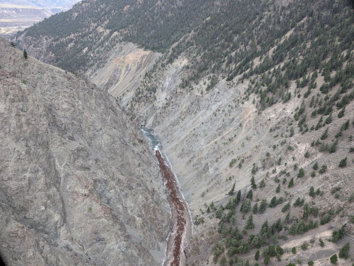
A landslide last week at Farwell Canyon located about 22 kilometres south of Williams Lake dammed the Chilcotin River and created a lake about 11 kilometres long behind the slide.
Water started flowing over the top of the landslide on Monday and has resembled a surging torrent that ripped away river banks and carried off at least one heritage cabin.
Even though Ma says flood risks are low on the Lower Mainland, Maple Ridge and New Westminster have closed access to Fraser River public areas out of caution in case of swift moving water and debris.
This report by The Canadian Press was first published Aug. 7, 2024.


Comments